
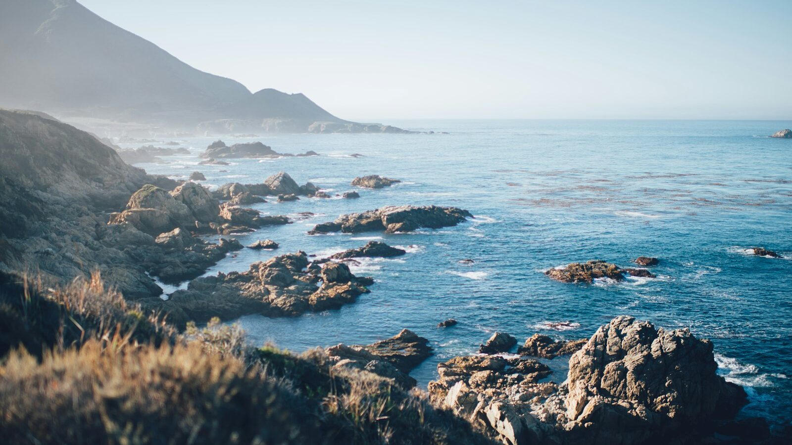
Singapore is a low-lying island city, and much of it sits close to the sea. That
geography is part of what makes coastal protection in Singapore a long-term
national concern rather than a passing worry. Rising sea levels, heavier
downpours and more extreme weather are all consequences of a warming climate,
and a small island cannot simply move away from the water. This guide explains
the challenge in plain terms, how the country is approaching it, and which
agencies carry the work, without pretending to know figures that only official
sources should state.
This is general information to help you understand how the system works. The
specific studies, designs, timelines and costs change as plans develop, so
treat this as a starting point and check the current details with the relevant
authorities named below.
Why A Low-Lying Island Has To Plan Ahead
The basic problem is straightforward. When the sea rises, land that sits only a
little above the current water line becomes more exposed to flooding, especially
during high tides and storm surges. Because a large share of Singapore lies at a
relatively low elevation, even modest changes at the coast can affect homes,
roads, ports, industry and infrastructure that the whole economy depends on.
Two forces tend to combine and make the risk worse than either would alone. The
first is gradual sea-level rise over the coming decades. The second is intense
rainfall, which can overwhelm drains during a downpour. When heavy rain lands at
the same time as a high sea level, water has a harder time draining out to the
sea, and that raises the chance of flooding inland as well as along the shore.
For these reasons, planners treat coastal protection as a problem to solve
early, over a very long horizon, rather than a repair to make after damage is
done. Land use, drainage and shoreline defences are considered together, so that
decisions made today leave room for stronger protection later.
The Agencies That Lead The Work
Several public bodies share responsibility, and it helps to know who does what.
- PUB, Singapore’s National Water Agency, is the national coastal protection
agency. It also manages the drainage system and water supply, so it is well
placed to look at rainfall flooding and sea flooding together. PUB leads the
studies that assess how different stretches of coastline could be protected. - The Ministry of Sustainability and the Environment sets the broader
environment and climate policy direction that this work sits within. - The Urban Redevelopment Authority handles long-term land use planning, so
that space for future coastal defences is reserved and not built over. - The National Environment Agency provides climate and weather science,
including projections that inform how conservative the planning should be. - The Building and Construction Authority and other technical agencies feed
in standards for how structures near the coast are designed.
Because the sea does not respect administrative boundaries, these agencies
coordinate rather than work in isolation. If you want the current lead and scope
for a specific area, PUB’s website is the authoritative place to check.
The Range Of Adaptation Options
There is no single answer to protecting a coastline. Different stretches have
different depths, uses and constraints, so a mix of approaches is studied and
matched to each location. Broadly, the toolkit includes hard engineering, nature
-based measures and land-use adjustments.
| Approach | What it involves | Where it tends to suit |
|---|---|---|
| Hard defences | Sea walls, tidal gates, dikes or raised barriers along the shore | Built-up coasts and critical infrastructure that must be firmly shielded |
| Nature-based measures | Mangroves, planted foreshores and natural buffers that absorb wave energy | Softer coastlines where ecology can be part of the defence |
| Land raising | Building new or redeveloped areas at a higher level | New reclamation and major redevelopment sites |
| Managed drainage | Pumps, storage and gates that move rainwater out even at high tide | Low-lying inland areas prone to flash flooding |
| Polders | Land protected by a surrounding dike with drainage inside it | Selected reclaimed areas where this design fits |
Most real plans blend several of these. A hard sea wall might be paired with
mangrove buffers, better drainage and higher ground behind it, so that no single
line of defence has to do everything. The exact designs being studied for named
locations are set out by PUB, and those are the figures to rely on.
How Studies And Decisions Are Made
Coastal protection here follows a careful, evidence-led process rather than a
one-off decision. The general pattern looks like this:
- Assess the risk for a stretch of coast using climate and sea-level
projections, ground levels and what is behind the shoreline. - Study the options by testing engineering and nature-based measures
against cost, land use, ecology and how much future flexibility they leave. - Consult and refine, drawing in residents, businesses and technical
experts so that solutions fit the area and its community. - Design and build in stages, so protection can be strengthened over time
as sea-level science and needs evolve.
A key principle is adaptability. Because no one can predict the exact sea level
decades ahead, defences are designed so they can be reinforced or raised later.
That is cheaper and safer than committing to a fixed height now and discovering
it was set wrong. Reserving land and building foundations that can be extended
are both ways of keeping options open.
What Residents And Businesses Can Do
Coastal protection is mostly a national-scale task, but there are sensible things
individuals and firms can keep in mind:
- Know your area. If you live or run a business near the coast or a low-lying
zone, understand local flood risk and any advisories. - Take everyday precautions during heavy rain and high-tide warnings, such
as not driving through flooded roads and protecting ground-floor property. - Follow official channels. PUB and NEA issue the guidance that matters, and
their updates are more reliable than second-hand information. - Support broader resilience through the country’s wider climate goals, which
connect coastal defence to emissions, land use and greenery.
For anything specific, whether it is a project timeline, a protection design or a
cost, go to the official source rather than an estimate. PUB is the lead for
coastal protection, NEA for climate science, and gov.sg for the national picture.
Figures and plans change as studies conclude, so verify current details there.
Explore More
Coastal protection is one strand of a much wider effort. Read our overview of the
Singapore Green Plan and
sustainability push to see how adaptation fits national climate goals, and
our explainer on how the Singapore
government works to understand how agencies like PUB coordinate long-term
plans. You may also find our guide to how
Parliament works useful for seeing where such policies are debated.