
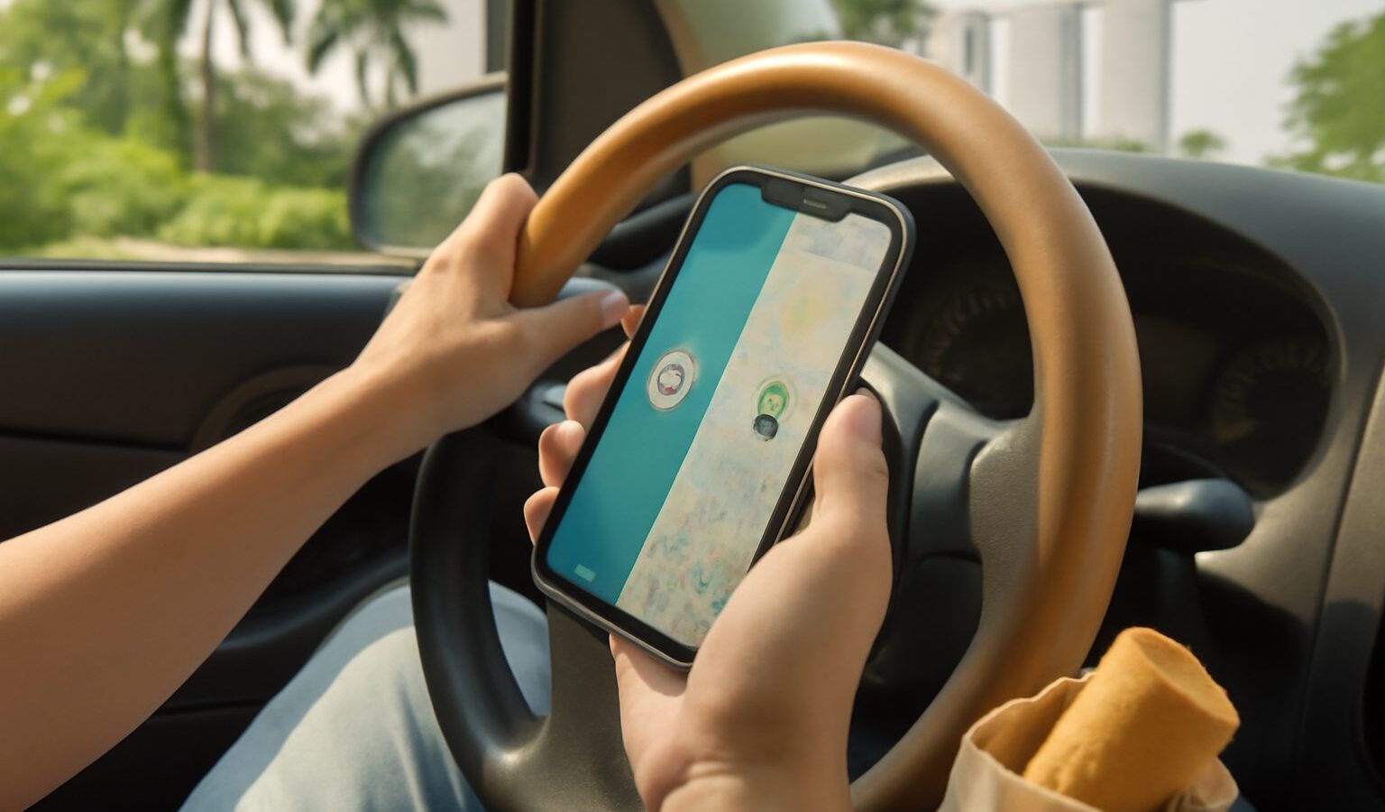
Ask a group of Singapore drivers which navigation app they use and you will usually get a split answer. The Waze vs Google Maps Singapore debate is not about which app can get you from Tampines to Jurong, because both can. It is about the details that matter on local roads: ERP gantries, speed camera alerts, jams on the PIE and CTE, finding a car park, and getting into the right lane before a tricky expressway exit.
This guide compares the two specifically for driving. If you mostly take the MRT and buses, our overview of navigation and maps apps in Singapore covers the wider range of apps.
The Short Answer
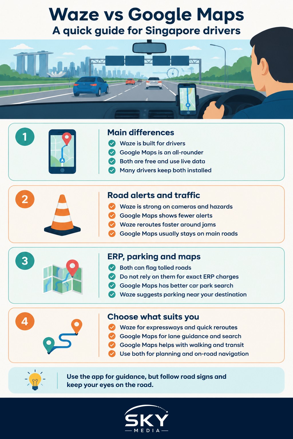
Both apps are free, both use live data, and both are owned by Google. Their personalities differ:
- Waze is built around a community of drivers who report hazards, accidents, police sightings and cameras in real time. It is focused purely on driving.
- Google Maps is an all-rounder. It handles driving well and adds strong place search, reviews, lane guidance, public transport, walking and offline maps.
Many regular drivers keep both installed and pick based on the trip.
Side-by-Side Comparison for Singapore Drivers
| Feature | Waze | Google Maps |
|---|---|---|
| Live traffic and rerouting | Very responsive, often suggests aggressive shortcuts | Reliable, tends to prefer main roads |
| Speed and red light camera alerts | Community and map-based alerts, generally a key strength | Shows some speed cameras and speed limits, less emphasis on alerts |
| Police and hazard reports | Core feature, reported by other drivers | Some incident reports, fewer user-submitted details |
| ERP and toll information | Can flag tolled roads, charge details may not be current | Can flag tolled roads and offer toll-free routes, charges may not be current |
| Lane guidance on expressways | Basic | Generally clearer, with lane diagrams at many junctions |
| Parking help | Suggests parking near the destination | Car park search plus reviews and photos of places |
| Offline use | Needs data | Offline maps can be downloaded |
Features change with app updates and can vary by phone, so test both on your regular routes.
ERP Gantries and Road Pricing
Electronic Road Pricing (ERP) is Singapore’s congestion charging system. The Land Transport Authority (LTA) sets the charges, which vary by location, time of day and vehicle type, and are reviewed regularly, including during school holidays. Singapore is also moving from the old in-vehicle unit to a new On-Board Unit (OBU) under ERP 2.0.
What this means for navigation apps:
- Both Waze and Google Maps can mark roads with tolls and let you choose routes that avoid them, but they may treat ERP gantries in a simplified way.
- Do not rely on either app for the exact ERP charge. Displayed amounts, where shown, may lag behind LTA’s latest rates.
- For accurate charges, use LTA’s own sources, such as the OneMotoring website or LTA’s official apps. With an OBU fitted, your unit’s display or companion app may also show charges.
A practical tip: turning on “avoid tolls” can send you through neighbourhood roads and add a lot of time. On short trips, paying a small ERP charge on an expressway is often faster and less stressful.
Speed Cameras and Safe Driving
Singapore uses fixed speed cameras, red light cameras and mobile enforcement. Waze is popular here largely because of its alerts for cameras and police presence, which are crowdsourced and sometimes built into the map. Google Maps shows speed limits and some camera locations, but its alerts are less prominent.
Keep a few points in mind:
- Alerts are a reminder, not a guarantee. Community reports can be missing or out of date. The safest approach is to drive at or under the posted limit everywhere.
- Speed limits shown in apps can be wrong, especially near road works or on recently changed roads. The road signs always take priority.
- Handling your phone while driving is an offence under the Road Traffic Act. Mount the phone in a holder, set the destination before you move, and use voice commands. Let a passenger handle the screen if possible.
Traffic Accuracy and Rerouting
Traffic is where the two apps feel most different.
Waze reacts quickly to jams and will happily reroute you through side roads to save a minute or two. On the expressways during peak hours, this can genuinely help. The downside is that it sometimes sends you through housing estates, narrow roads or school zones, and the “shortcut” can be more stressful than staying put.
Google Maps also uses live data, drawn from many phones on the road, and tends to keep you on main roads unless the savings are clear. Its estimated arrival times are usually steady, which helps when you need to plan around a meeting or a pickup.
Both apps can struggle with:
- Sudden accidents that have just happened
- Lane closures for night road works
- Events that change traffic patterns, such as large concerts or national events
- Multi-storey and basement car parks, where GPS signal drops
For major incidents, LTA’s traffic news and expressway cameras give an official picture.
Parking, Destinations and Everyday Errands
Finding a place to park is a big part of driving here. Neither app replaces official parking tools, but they help in different ways.
- Google Maps is stronger for searching a destination by name, checking opening hours and reviews, and seeing which car parks are near. Street View helps you recognise the car park entrance before you arrive.
- Waze suggests nearby parking as you approach and lets you save frequent destinations, but its place search is less detailed.
- For HDB and URA car parks, check charges and payment rules with the operator. Apps such as Parking.sg handle short-term parking at coupon-style car parks, and HDB and URA publish parking information on their websites.
Tip: In big malls with several car park entrances, set the destination to the specific car park entrance rather than the mall itself. Both apps sometimes route you to a pedestrian entrance or the wrong side of a building.
Which App Suits Which Driver
Your choice depends on how you drive.
Choose Waze if you:
- Drive the expressways daily and want quick rerouting around jams
- Value community alerts for hazards, accidents and cameras
- Do a lot of point-to-point driving, such as private hire or deliveries
Choose Google Maps if you:
- Want clear lane guidance at complex interchanges
- Often search for new places, restaurants or shops
- Mix driving with walking or public transport on the same day
- Sometimes drive across the Causeway and want offline maps as a backup
Use both if you:
- Plan with Google Maps (search, reviews, timing) and navigate with Waze on the road
- Want a second opinion on an estimated arrival time before a long trip
Settings Worth Changing Before You Drive
A few minutes in the settings can make either app much more useful:
- Set your vehicle type if the option exists, since some features differ for motorcycles and cars.
- Turn on speed limit display and set a sensible alert threshold.
- Decide whether to avoid tolls by default, and change it trip by trip.
- Enable voice guidance at a volume you can hear over the air-conditioner.
- Save home, work and school addresses to start trips with one tap.
- Connect to your car’s system through Android Auto or Apple CarPlay if supported, which gives a larger screen and simpler controls.
Whichever you pick, a navigation app is a guide, not an instruction. Road signs, traffic lights and your own judgement always come first. If you are new to the island’s road layout, our tips on improving your map awareness will help you rely less on the screen over time.