
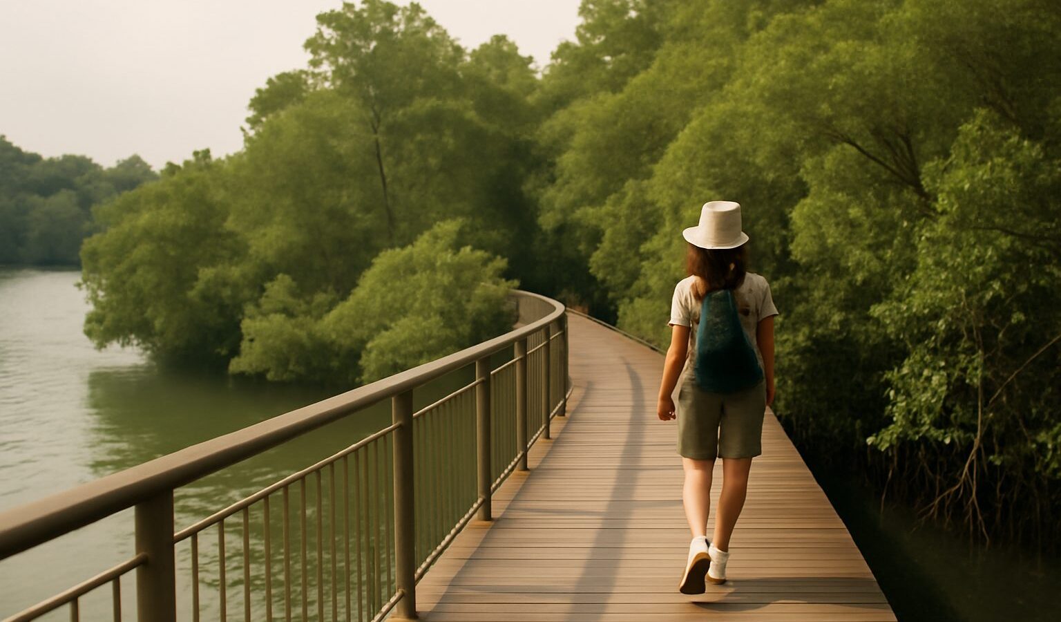
Most people who head to Labrador Park go for the sea view, the old fort relics and a picnic on the grass. Fewer turn inland to the Berlayer Creek boardwalk, a raised wooden path that follows a tidal creek lined with mangroves. It is one of the few patches of mangrove left on Singapore’s southern mainland coast, tucked between busy roads, port cranes and condominiums, and it makes a surprisingly calm walk of an hour or less.
What Makes Berlayer Creek Different
Berlayer Creek is a short tidal waterway that drains into the sea at Labrador, at the western edge of the Keppel waterfront. Its banks are fringed with mangrove trees, the salt-tolerant species that grow where fresh water meets the sea. The creek is managed by NParks as part of the wider Labrador Nature Reserve, but it has a very different feel from the coastal park.
- It is a creek, not a beach. You walk alongside a narrow channel rather than an open shoreline, so the views are close up: roots, mud, crabs and birds rather than ships on the horizon.
- It changes with the tide. At high tide the water rises up among the roots and the creek looks like a quiet river. At low tide the mudflats are exposed and the wildlife comes out.
- It is a connector. The boardwalk links Labrador Park towards the Alexandra and Telok Blangah side, so it slots naturally into longer walks along the southern green corridor.
If you already know Singapore’s bigger mangrove sites, think of Berlayer Creek as the compact city version. It is smaller than the northern wetlands, but easy to reach. For a wider round-up of the island’s mangrove spots, see our guide to mangrove walks in Singapore.
Getting to the Berlayer Creek Boardwalk
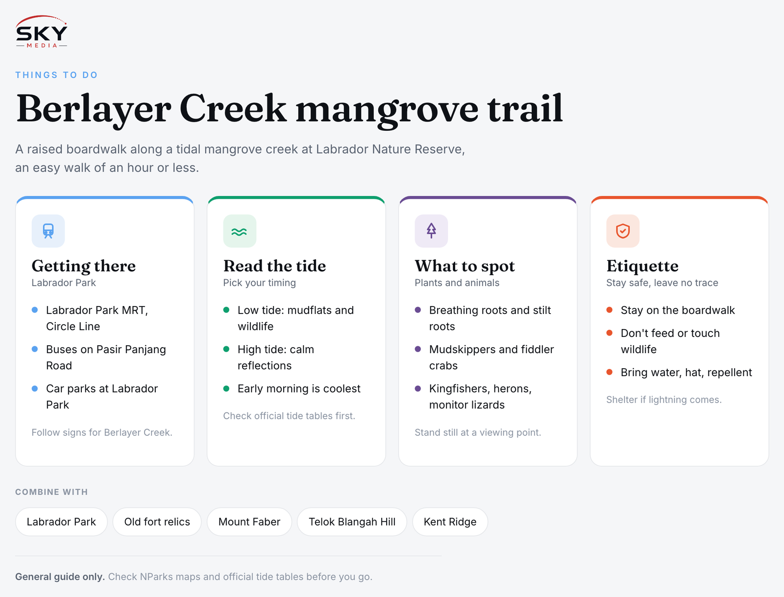
The simplest way in is by MRT. Labrador Park station on the Circle Line is a short walk from the park entrance, and signboards in the reserve point you towards the creek trail. Several bus services also run along Pasir Panjang Road and Telok Blangah Road; check the latest routes on a journey planner app or the LTA website before you set out.
Drivers can use the car parks at Labrador Park. Parking charges and payment systems can change, so look at the signs on arrival.
Once inside the reserve, follow the signs for Berlayer Creek. The boardwalk runs along the creek, and you can walk it in either direction. Many visitors start from the Labrador end, walk inland along the creek, and then either loop back or carry on towards Alexandra and the Southern Ridges network. NParks publishes park maps on its website, and they are worth a quick look so you know where the exits are.
Best Time to Visit and Reading the Tide
Timing makes a big difference to what you see on the berlayer creek boardwalk.
- Low tide is best for wildlife. The exposed mud is when mudskippers hop about, fiddler crabs wave their oversized claws and wading birds come to feed.
- High tide is better for reflections and a peaceful, river-like scene, especially in soft morning or late afternoon light.
- Early morning is coolest and quietest. Birds are more active, and you avoid the strongest midday sun.
- After rain, the boardwalk can be slippery, so slow down and wear shoes with grip.
Tide tables for Singapore waters are published by official sources, including the Maritime and Port Authority of Singapore (MPA) and the weather and climate services under NEA. Check the times for the day you plan to go.
| Visit timing | What you are likely to see | Good for |
|---|---|---|
| Low tide, morning | Exposed mudflats, mudskippers, crabs, feeding birds | Families with kids, wildlife spotting |
| High tide, late afternoon | Water up among the roots, calm reflections | Photography, a quiet stroll |
| Midday, any tide | Bright light, fewer animals active, more heat | Short walks only, with water and shade breaks |
| Just after rain | Wet boardwalk, fresh smells, some insects | Careful walkers in good shoes |
Mangrove Plants and Wildlife to Look For
You do not need to be a naturalist to enjoy the creek, but knowing a few things to look for makes the walk more rewarding. NParks signboards along the trail help with identification.
Mangrove trees and roots
- Pencil-like roots poking up from the mud. These are breathing roots, which help some mangrove trees take in air from waterlogged soil.
- Arching stilt roots. Other mangrove trees prop themselves up on curved roots that spread out like a tripod.
- Long, dangling seedlings. Some mangroves grow their seedlings while still attached to the parent tree, then drop them into the mud or water.
Animals
- Mudskippers, fish that spend much of their time out of water, skipping across the mud.
- Fiddler crabs and other small crabs, often seen scurrying into holes as you approach.
- Kingfishers, herons and egrets, which hunt along the water’s edge.
- Monitor lizards, which may be resting on banks or swimming in the creek. They usually move away from people.
Bring a small pair of binoculars if you have them, and stand still for a minute or two at a viewing point.
Safety and Etiquette on the Boardwalk
Berlayer Creek is an easy walk, but it is still a natural area in a hot climate.
- Stay on the boardwalk and paths. The mud is soft and deep in places, and stepping off damages roots and burrows.
- Do not feed or touch wildlife. This includes monkeys, monitor lizards, crabs and birds. Feeding wildlife is against NParks rules and harms the animals.
- Do not collect plants, seedlings or animals. Leave everything as you found it.
- Keep the noise down so others can enjoy the quiet and the birds are not scared off.
- Watch children closely near railings and edges, especially at high tide.
- Bring water, a hat and insect repellent. Mangroves can have mosquitoes and sandflies, and shade is patchy in places.
- Take your rubbish home. Litter washes into the creek and out to sea.
If you are walking in the afternoon, keep an eye on the sky. Thunderstorms build quickly in Singapore, and exposed boardwalks are not where you want to be during lightning. Shelter until the storm passes.
Combining the Creek With Other Walks
Because the boardwalk links into the wider southern green network, it is easy to build a longer outing.
- Labrador Park loop: pair the creek with the coastal promenade, the jetty and the old fort relics in Labrador Park for a gentle half day.
- Towards the Southern Ridges: fitter walkers can continue inland and connect with the trails linking Mount Faber, Telok Blangah Hill and Kent Ridge. Check NParks maps for the current routes and connections before you go.
- A boardwalk tour: if you enjoy raised walkways over water and greenery, our round-up of boardwalk walks in Singapore lists more easy options, and our guide to boardwalks for sunrise photography suggests where to go for early light.
Why the Creek Matters
Mangroves once lined much of Singapore’s coast, and many were lost to development and reclamation over the decades. The patches that remain, like Berlayer Creek, protect shorelines, trap sediment, store carbon and provide nurseries for fish and other marine life. Walking here quietly and leaving no trace is a small way to support that. To learn more about the bigger picture, read our explainer on coastal and mangrove conservation in Singapore.
The Berlayer Creek boardwalk proves you do not need to travel far for a real taste of Singapore’s coastal wild. Go early, move slowly, and let the tide decide what the creek shows you.
Further reading: Lornie Trail: A Visitor Guide · Lorong Halus Wetland: A Visitor Guide