
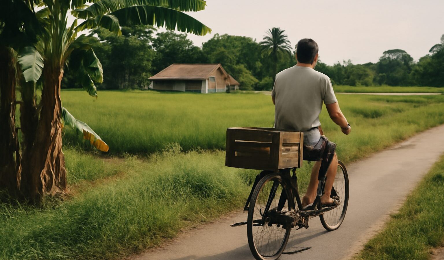
Drive along Lim Chu Kang Road today and you pass farms, fields, quiet roads lined with tall trees and long stretches of cemetery. It feels unlike almost anywhere else in Singapore. That rural character is no accident. Lim Chu Kang history is a story of plantations carved from the forest, farming families who fed the island, a wartime landing that changed everything and land set aside for the dead when the living needed space elsewhere.
This article traces how the north-west corner became what it is, and how it continues to change. Some details of the area’s early history rely on oral accounts and records that historians still discuss, so treat names and dates as the commonly told version and look to the National Archives of Singapore and the National Heritage Board for deeper research.
A Name Rooted in the Kangchu System
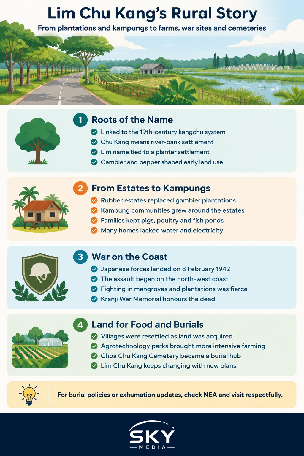
The “Chu Kang” in Lim Chu Kang, like the one in Choa Chu Kang, points back to the 19th-century kangchu system. In Teochew, a kangchu was the “lord of the river bank”. Under this system, colonial authorities and Johor rulers granted Chinese planters rights to open land along a river for gambier and pepper cultivation. The planter who held the rights, the kangchu, controlled the settlement around the river landing, known as a chu kang.
Lim Chu Kang is generally understood to have taken its name from a settlement linked to a planter of the Lim surname along one of the rivers of the north-west. Gambier, used in tanning and dyeing, and pepper were grown together because gambier waste could fertilise pepper vines. The crop exhausted the soil and needed fresh forest to burn and clear, so plantations moved steadily across the island, and the north-west was one of the frontiers.
From Gambier to Rubber and Kampung Life
By the late 19th and early 20th centuries, gambier had declined and rubber took its place. Large rubber estates spread across the rural west and north, and Lim Chu Kang became part of this landscape of plantations, tappers’ houses and small villages.
Around the estates grew kampung communities, mainly Chinese with Malay villages near the coast. Families kept pigs and poultry, grew vegetables and fruit, and some ran fish and prawn ponds near the mangroves. Village heads played an important role in community life. Neo Tiew Road, one of the area’s best-known roads, is named after a local village headman, a reminder of how ordinary community leaders became part of the map.
Life was simple and often hard. Many villages had no piped water or electricity for years. Yet these communities supplied a large share of the island’s fresh food, and older residents still remember the network of dirt roads, provision shops and temples that tied the area together.
The 1942 Landings on the North-West Coast
Lim Chu Kang’s coast holds one of the most important moments in Singapore’s wartime history. On the night of 8 February 1942, Japanese forces crossed the Johor Strait and landed on the north-western shoreline, including the Sarimbun area. Australian troops defending this sector faced the main thrust of the assault. The fighting in the mangroves and plantations that night opened the way to the fall of Singapore a week later.
The National Heritage Board has marked sites related to the war across the island, and the nearby Kranji War Memorial honours Allied servicemen who died in the region. Visiting the north-west with this history in mind changes how you see its quiet shoreline.
How the North-West Changed After Independence
After independence, Singapore needed land for housing, industry and defence, and the rural north-west was reshaped in stages.
| Period | Main land use | What it meant for the area |
|---|---|---|
| 19th century | Gambier and pepper plantations under the kangchu system | Forest cleared along rivers, Chinese planter settlements formed |
| Early 20th century | Rubber estates, kampung farms, fish and prawn ponds | Village communities grew and supplied fresh food |
| 1970s to 1980s | Resettlement of villages, land reserved for agriculture, military and cemeteries | Kampung life gave way to planned land use |
| 1980s onwards | Agrotechnology parks with licensed farms | Intensive farming of vegetables, fish, eggs and more |
| Recent decades | Plans for a higher-tech agri-food cluster | Ongoing redevelopment of farmland |
Villagers were resettled into HDB towns as kampung land was acquired. Large areas became military training grounds and airbase land, which partly explains why the north-west stayed undeveloped. One unusual legacy is the former Neo Tiew Estate, a small block of public housing in the area that was later vacated and has been used for military urban training.
In the 1980s the government set up agrotechnology parks and leased land to farms that used more intensive methods. Many of the farms visitors see today, growing leafy greens, rearing fish and producing eggs, trace their roots to this period.
Cemeteries: Space for the Dead in a Land-Short City
Lim Chu Kang is closely tied to how Singapore manages burials. As older cemeteries in central areas were cleared for redevelopment, burial grounds were concentrated in the north-west. The Choa Chu Kang Cemetery complex, which sits along the Lim Chu Kang area, is today the main place for burials in Singapore. It contains sections for different faiths and communities, reflecting the island’s diversity.
Because land is so scarce, burial policy has changed over time. Graves now have a limited lease, after which remains may be exhumed and then cremated or reinterred in a more compact way, depending on the family’s wishes and faith. When land around the cemetery has been needed for other purposes, the authorities have announced exhumation exercises and worked with families. If you have family buried here, check the National Environment Agency (NEA) website for current burial and exhumation policies.
Visitors should remember that cemeteries are places of mourning and remembrance. Families visit especially around Qing Ming, usually in early April, and other days of remembrance. Be quiet and respectful, keep to paths and avoid photographing mourners.
Visiting Lim Chu Kang With History in Mind
Today the area mixes working farms, wetlands and memorials. Sungei Buloh Wetland Reserve protects mangroves and mudflats on the northern coast, a reminder of the landscape the early planters first saw. Farm visits are a popular weekend outing, and the long, tree-lined roads remain one of the few places in Singapore that still feel rural.
Large parts of Lim Chu Kang are earmarked for redevelopment into a more productive, high-tech agri-food area, so the landscape will keep changing. Check official sources such as the Singapore Food Agency and URA for current plans, and visit soon if you want to see the area as it is now.
To compare Lim Chu Kang with other areas that moved from plantation to new town, read our stories on Nee Soon and Yishun’s rubber and village past and Punggol’s journey from rural coast to waterfront town. Next door, our Choa Chu Kang neighbourhood guide shows what happened to the other “Chu Kang” after urbanisation.
Lim Chu Kang’s quiet roads hide a busy past: plantations, kampungs, a wartime landing and generations of families laid to rest. Knowing that history makes a drive through the north-west far more than a trip to the farms.
Frequently Asked Questions
What does the name Chu Kang actually mean? Chu Kang comes from the Teochew term for a river landing, linked to the kangchu, the Chinese planter who held rights to open land along a river for gambier and pepper. Lim Chu Kang is generally understood to be named after a planter surnamed Lim.
Why did Singapore move its cemeteries to the north-west? As older cemeteries in central areas were cleared for redevelopment, burial grounds were concentrated in the north-west, where land was available. Choa Chu Kang Cemetery is now the main place for burials in Singapore, with sections for different faiths and communities.
What happened to the villagers who used to live in Lim Chu Kang? They were resettled into HDB towns as kampung land was acquired for housing, industry, defence and agriculture. Much of the area then became military land, cemeteries and licensed farms, which is partly why the north-west stayed undeveloped.
How long can a grave stay at Choa Chu Kang Cemetery? Graves now have a limited lease, after which remains may be exhumed and then cremated or reinterred more compactly, depending on the family’s wishes and faith. If you have family buried there, check the National Environment Agency website for the current policy.
Is Lim Chu Kang still going to be farmland in the future? Not entirely. Large parts are earmarked for redevelopment into a more productive, high-tech agri-food area, so the landscape will keep changing. Check the Singapore Food Agency and URA for current plans, and visit soon to see the area as it is now.