
Punggol sits at the north-eastern tip of Singapore, where the land meets the water and the city gives way to open sky. To many younger Singaporeans, Punggol means a modern waterfront town of new flats, a scenic waterway, and weekend cycling. Yet the district carries a much older story of farms, fishing, and a sombre wartime memory. Understanding Punggol history in Singapore means holding both truths together: a rural past that shaped the land, and one of the most ambitious town-building efforts of the modern era. This guide traces that arc from coast to community.
A rural and coastal past
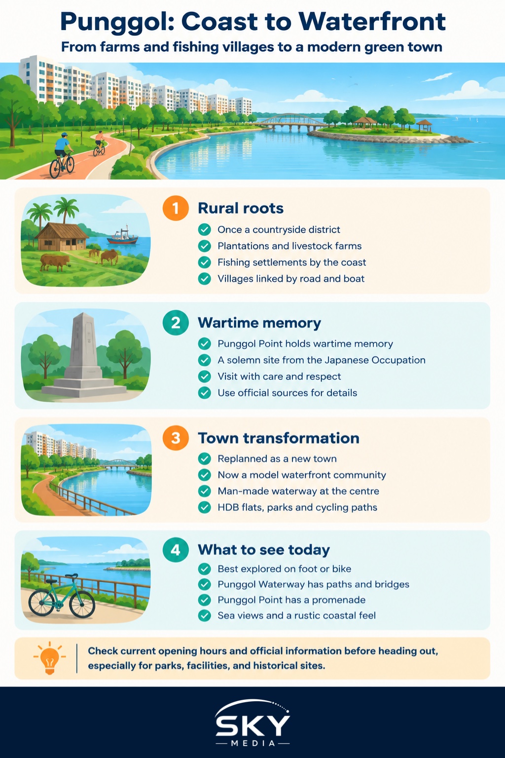
For most of its history, Punggol was countryside. The name has long been associated with the area’s rural character, and old Punggol was a landscape of plantations, poultry and pig farms, and fishing settlements strung along the coast and the rivers. Families lived in villages, worked the land and the water, and travelled by road and boat to a district that felt distant from the town centre.
Punggol Point, at the very tip, was the district’s window to the sea. A jetty area served fishermen and villagers, and the coast looked out towards the islands and the strait. This was a working, everyday landscape rather than a grand one, and its heritage lies in that ordinary rhythm of farm and shore that once defined much of rural Singapore. The National Heritage Board (roots.gov.sg) documents the district’s rural and coastal past for those who want verified detail.
Wartime memory at Punggol Point
Punggol’s quiet coast also holds a solemn place in the story of the Japanese Occupation. Punggol Point is associated with the wartime events of that period, and it is remembered today as a site connected to the suffering of the war years. This is sensitive history, and it deserves to be treated with dignity and accuracy rather than embellishment.
Visitors interested in this chapter should rely on the National Heritage Board and official commemorative information for the facts, dates, and context. What matters for the heritage traveller is to approach Punggol Point with awareness that its scenic calm sits alongside a painful memory, and to give that memory the respect it is owed.
The great transformation
For decades after independence, Punggol remained relatively rural even as the rest of Singapore urbanised, its farms gradually cleared as the island’s land use changed. The district’s dramatic reinvention came when it was planned as a new town, and later reimagined as a model waterfront community for the twenty-first century.
The centrepiece of that vision was the creation of a man-made waterway running through the town, turning water into the organising feature of the district rather than an edge to build against. New Housing and Development Board (HDB) flats rose around it, along with parks, promenades, and cycling paths that made the most of the north-eastern setting.
| Era | What Punggol was | Defining features |
|---|---|---|
| Old Punggol | Rural coastal district | Farms, fishing villages, Punggol Point jetty |
| Wartime | Occupied territory | Solemn wartime memory at the Point |
| Late twentieth century | Land in transition | Farms cleared, new town planned |
| Today | Green waterfront town | Punggol Waterway, HDB estates, promenades |
The result is one of Singapore’s most distinctive new towns, where residential blocks sit beside water and greenery, and where a district once known for poultry farms is now known for waterfront living. For the official planning vision and current developments, the URA and HDB are the authorities to consult.
What to see today
Modern Punggol is best explored on foot or by bicycle. The Punggol Waterway is the heart of the town, a landscaped channel lined with paths, bridges, and parkland that has become a favourite for joggers, cyclists, and families. It shows how thoughtfully designed water and greenery can define a place.
Out at Punggol Point, the coast has been given a new lease of life with a promenade and waterfront area, while still holding its historical significance. It is a place to watch the sea, feel the breeze off the strait, and reflect on how much the district has changed. The north-eastern coast around here has also become popular for its rustic, end-of-the-island feel, a reminder of the rural Punggol that came before.
Because facilities, eateries, and attractions in a fast-growing town open and change over time, check current information on official and venue websites before planning a specific outing.
Punggol’s place in the Singapore story
Punggol’s significance lies in its journey. It is one of the clearest examples of how Singapore continually remakes its land to meet new needs, turning a rural, coastal district into a planned town for a new generation. At the same time, the retention of Punggol Point as a place of memory and a working coast shows that transformation need not erase history entirely.
For newcomers, Punggol is a window into how modern Singapore builds a neighbourhood from the ground up, integrating homes, transport, water, and green space. For longtime residents, it is a place where the memory of farms and fishing lingers beneath the new promenades.
Visiting Punggol
Punggol is served by the North-East Line at Punggol MRT station, which connects to the town’s light rail and bus network, making it easy to reach the waterway and the coast. From the town centre, cycling or walking paths lead towards Punggol Waterway Park and onward to the north-eastern coast.
A relaxed itinerary might begin along the Punggol Waterway, continue by bike towards the coast, and end at Punggol Point for the sea views and a quiet moment with the district’s wartime memory. Bring water, sun protection, and a respectful attitude at the historical sites, and confirm opening hours for parks and any attractions on their official pages before you set out. Punggol rewards those who take it slowly, tracing the line from an old rural coast to one of Singapore’s greenest new towns.
Explore more
Continue exploring the changing north-east with our Sembawang heritage guide, another sea-facing district with a distinctive past. For a contrasting tale of deliberate transformation, read the Jurong industrial heritage guide, and to see how earlier new towns preserve their heritage, visit our Ang Mo Kio heritage guide.
Frequently Asked Questions
Can you cycle from Punggol Waterway to Punggol Point? Yes, cycling and walking paths lead from the town centre towards Punggol Waterway Park and on to the north-eastern coast. It makes a relaxed outing, ideally in the cooler hours. Bring water and sun protection, and check official pages for any path closures or facility updates.
How should I behave at Punggol Point given its wartime history? Treat it as a place of memory as well as a scenic promenade. Keep noise down, avoid treating the spot as a backdrop for stunts and read the official commemorative information. The National Heritage Board is the right source for verified facts and context.
What was Punggol like before the HDB flats arrived? It was countryside, with plantations, poultry and pig farms and fishing settlements along the coast and rivers. Villagers worked the land and water, and the Punggol Point jetty served fishermen. The National Heritage Board’s roots.gov.sg documents this rural past for anyone wanting verified detail.
Why was a man-made waterway built through Punggol? It was designed so that water became the organising feature of the new town rather than an edge to build against. Flats, parks, promenades and cycling paths were planned around it. The URA and HDB publish the official planning vision and current developments.
What is the easiest way to get to Punggol town? Take the North-East Line to Punggol MRT station, which connects to the town’s light rail and bus network. From there you can walk or cycle to the waterway and the coast. Check the official transport apps for current routes and timings.
Further reading: Lim Chu Kang History and Singapore’s Rural North-West