
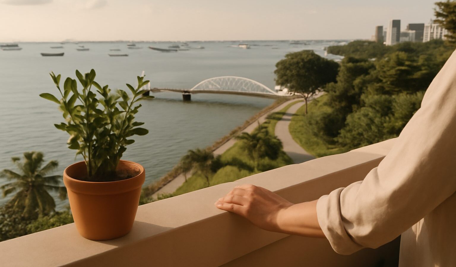
The Greater Southern Waterfront in Singapore is one of the largest long-term redevelopment ideas on the island, a plan to reshape a broad stretch of the southern coast once the container ports there are moved elsewhere. It is not a single project with one opening day but a decades-long transformation that will unfold in phases. This guide explains what the area covers, why the land is being freed up, what the published plans envisage in general terms, and which agencies guide the work. For any specific detail, such as timelines, sizes, or what will be built on a given plot, the authoritative source is the Urban Redevelopment Authority (URA) and its Master Plan.
What the Greater Southern Waterfront Is
The Greater Southern Waterfront refers to a long belt of land and coastline along the southern edge of the main island. Broadly, it stretches from the western port areas through the city-fringe districts near the central business district and out towards the southern islands and Sentosa gateway. Much of this land has been used for maritime and industrial purposes for decades, which is why it has not developed in the same way as neighbouring residential districts.
The core idea is straightforward. As Singapore consolidates its container port operations in the west, the prime waterfront land that the older terminals occupy will become available for new uses. Because this land sits close to the city centre and directly on the water, planners have described it as a rare opportunity to extend the urban waterfront and create new places to live, work, and spend time by the sea. The overall concept has been presented publicly by URA as a key part of Singapore’s long-term plans.
Why the Land Is Being Freed Up
The single biggest reason this transformation is possible is the relocation of port operations. Singapore’s container terminals in areas such as Tanjong Pagar, Keppel, Brani, and Pasir Panjang are being progressively consolidated at Tuas, in the far west, where a new mega port is being developed in phases by PSA and the Maritime and Port Authority of Singapore. The Tuas project is designed to bring the country’s container handling together in one large, modern facility.
As terminals move west, the land they leave behind along the southern coast is released for redevelopment. This is a gradual handover rather than an overnight switch, and it is why the Greater Southern Waterfront is described as a project measured in decades. The exact schedule for each parcel depends on the pace of the port move and on planning decisions, so readers should treat any single date as provisional and check the latest official updates.
What the Published Plans Envisage
URA has described the Greater Southern Waterfront in general terms as a future mixed-use district that could combine homes, offices, leisure, and public waterfront spaces, all served by greenery and better connections to the sea. The emphasis in the public vision has been on making a large stretch of coastline accessible to the public and on weaving new neighbourhoods into the existing city.
Some broad themes that have appeared in official descriptions include:
- New housing, including public and private homes, in districts close to the city and the water.
- Commercial and office space that extends the central business district southwards over time.
- Continuous waterfront promenades and parks that open the coastline to the public.
- Better links between the city, the waterfront, and the southern islands.
- Reuse of heritage and industrial structures where this makes sense, such as former power station buildings.
These are directions of intent rather than fixed commitments. The specific mix of uses, the number of homes, and the design of each precinct are worked out through detailed planning and can change. For anything concrete, the URA Master Plan and its updates are the reference to consult.
| Area along the southern belt | Long-standing role | General future direction in the plans |
|---|---|---|
| Tanjong Pagar and Keppel | Older container terminals near the city | Redevelopment as the port moves to Tuas |
| Pasir Panjang | Container and cargo handling | Progressive release for new uses over time |
| City-fringe waterfront | Mixed port, industrial, and civic uses | New homes, offices, and public promenades |
| Southern islands and gateway | Recreation and tourism links | Improved access and leisure connections |
How the Vision Is Guided and Decided
Several public bodies shape a project of this scale. URA is the national land use planning authority and the custodian of the Master Plan, which is the statutory plan that guides development over the medium term, and the Long-Term Plan, which sets out broader directions further ahead. The Master Plan is reviewed periodically, and it is the document that translates a broad vision into specific zoning and plot details as areas become ready.
Other agencies play defined roles. PSA and the Maritime and Port Authority of Singapore handle the port relocation that makes the land available. Agencies such as the Housing and Development Board and JTC Corporation may be involved where public housing or industrial and business space is planned. The Land Transport Authority plans the transport links, and the National Parks Board is typically involved in greenery and coastal park spaces. Because responsibilities are shared and plans evolve, the clearest way to follow the project is through the agencies’ own announcements rather than second-hand summaries.
What It Could Mean Over Time
For residents, the Greater Southern Waterfront is best understood as a long horizon rather than a near-term change. Over the coming decades, areas that are currently working ports could become neighbourhoods, and stretches of coast that are closed off today could open to the public. Because the plans are phased and subject to revision, the sensible approach is to follow official updates and avoid assuming any particular feature, size, or completion date until it is confirmed.
It also sits within Singapore’s wider approach to using land carefully on a small island, an approach that connects to how the country creates land in the first place and how it plans second commercial centres away from the traditional core. Reading the Greater Southern Waterfront alongside those topics gives a fuller sense of how the island is being reshaped for the long term.
Explore More
To see how these long-term plans fit together, read about Jurong Lake District, Singapore’s planned second commercial centre in the west. It also helps to understand land reclamation in Singapore, since coastal projects and the island’s growing land are closely linked, and both connect to the same long-term planning approach guided by URA.