
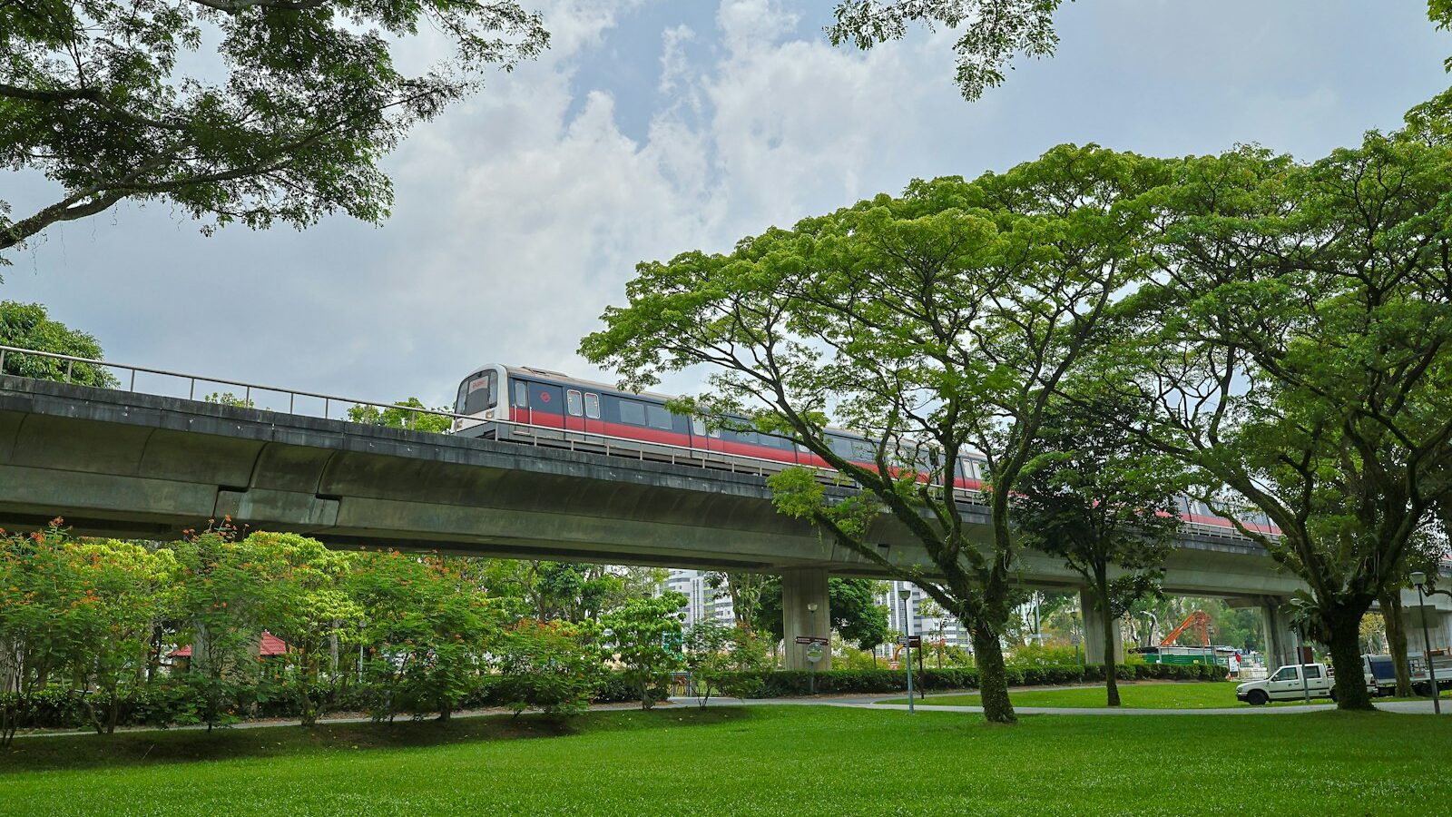
The Thomson-East Coast Line (TEL) is one of Singapore’s newer MRT lines, marked in brown on the network map and labelled with station codes starting “TE”. It runs from Woodlands in the north, down through Thomson and the city centre, then along the east coast. For many residents it has cut out a transfer or a long bus ride, and it has put places like Maxwell, Gardens by the Bay and East Coast Park within easy reach by train.
This guide explains how the Thomson East Coast Line is laid out, where it connects with other lines, and the everyday trips it makes easier. Opening dates for future stations and extensions are set by the Land Transport Authority (LTA) and can shift, so check LTA’s website for the latest updates.
How the Line Is Laid Out
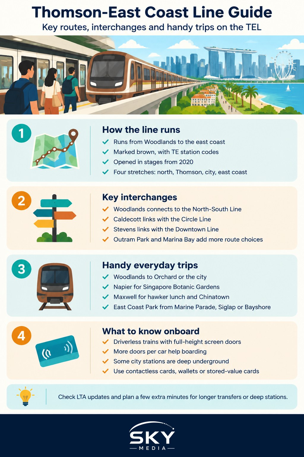
The TEL opened in stages from 2020, roughly from north to south and then eastwards. It is easiest to think of it in four stretches.
The northern stretch (Woodlands). Woodlands North, Woodlands and Woodlands South serve the Woodlands area. Woodlands North sits near the planned Rapid Transit System (RTS) Link to Johor Bahru, which is intended to connect with the TEL there.
The Thomson stretch. Springleaf, Lentor, Mayflower, Bright Hill, Upper Thomson and Caldecott run through the residential estates and landed neighbourhoods of the Thomson and Ang Mo Kio fringe, an area that previously relied mostly on buses.
The city stretch. Stevens, Napier, Orchard Boulevard, Orchard, Great World, Havelock, Outram Park, Maxwell, Shenton Way, Marina Bay and Gardens by the Bay form a north-to-south spine through the city, from the edge of the Botanic Gardens to the Marina Bay area.
The east coast stretch. Tanjong Rhu, Katong Park, Tanjong Katong, Marine Parade, Marine Terrace, Siglap and Bayshore run parallel to East Coast Park, linking the Katong, Marine Parade and Siglap neighbourhoods to the city.
A few stations along the route, such as Mount Pleasant and Founders’ Memorial, have been planned to open later than their neighbours, timed with developments around them. Further east, the line is being extended towards Bedok South and Sungei Bedok, and in the longer term towards Changi Airport. Check LTA’s announcements for which of these are open when you travel.
Interchange Stations and What They Connect To
The TEL’s value comes from its interchanges, which let you switch lines without leaving the paid area of the network. Walking distances between platforms vary, and some transfers involve long passageways, so allow a few extra minutes.
| Interchange | Connects to | Handy for |
|---|---|---|
| Woodlands | North-South Line | Woodlands bus interchange, north-side commuters |
| Caldecott | Circle Line | Orbital trips across the middle of the island |
| Stevens | Downtown Line | Bukit Timah, Newton and the Downtown corridor |
| Orchard | North-South Line | Shopping belt and city-bound transfers |
| Outram Park | East-West Line, North East Line | Chinatown, Harbourfront, Tiong Bahru area |
| Marina Bay | North-South Line, Circle Line | Marina Bay financial district and waterfront |
With these links, the TEL works as a fast north-south route that complements the older North-South Line, and as a way for east coast residents to reach the city without going through the busy East-West Line.
Handy Trips on the TEL
Here are everyday journeys where the line is especially useful:
- Woodlands to Orchard or the city. A single train ride from the north to Orchard, Maxwell or Shenton Way, without changing lines.
- Singapore Botanic Gardens. Napier station sits near the Tanglin Gate side of the Gardens, a convenient alternative to the Botanic Gardens station on the Circle and Downtown lines.
- Hawker lunch at Maxwell. Maxwell station is beside Maxwell Food Centre and close to Chinatown and Tanjong Pagar.
- Gardens by the Bay. Gardens by the Bay station puts you close to the main gardens and the waterfront promenade, useful when you are coming from the north or east.
- East Coast Park. Stations such as Marine Parade, Marine Terrace, Siglap and Bayshore are a walk away from the park, often through underpasses. Our East Coast Park guide has ideas for a day out once you arrive.
- Katong and Joo Chiat food trips. Tanjong Katong and Marine Parade put you within reach of the Katong food and heritage streets.
- Great World and River Valley. Great World and Havelock stations serve the riverside residential areas and malls along River Valley.
For heritage walks, the Siglap and Upper East Coast heritage guide pairs well with a ride to Siglap station.
Tips for Riding the TEL
The TEL has some features that newer riders may notice:
- Driverless trains. Like several newer lines, the TEL is fully automated. Platform screen doors are full height at every station.
- More doors per car. TEL trains have more doors on each car than older trains, which helps passengers board and alight quickly.
- Deep stations. Some city stations are well below ground, so expect long escalators and allow time to reach the platform.
- Fares. You pay with a contactless bank card, mobile wallet or stored-value card, the same as on other lines. Fares are based on distance travelled across the network. Check the current fare structure with TransitLink or the Public Transport Council.
- Accessibility. Stations have lifts and barrier-free routes. Some exits have only stairs or escalators, so check station maps if you need a lift.
How the TEL Fits the Wider MRT Network
The TEL is part of a long-term plan to bring more homes within a short walk of a train station and to give commuters more route choices. Lines like the TEL and the upcoming Cross Island Line add parallel and orbital routes, so that a disruption on one line has more alternatives.
If you are interested in the next big addition, read The Cross Island Line Explained, which covers the orbital line planned to run across the north and east of the island.
Planning Your Journey
To get the most from the TEL:
- Use a journey planner app or the official MyTransport.SG app to compare routes, because the fastest path is not always obvious with so many new links.
- Check LTA and the operator’s announcements for planned closures or service adjustments, especially on weekends.
- During peak hours, the city stretch can be crowded, so consider travelling slightly earlier or later if you can.
- If you are heading to the east coast for a weekend, note which station is closest to your planned spot in the park before you set off.
The Thomson-East Coast Line has quietly reshaped how people move between the north, the city and the east. Once you know its interchanges, it often becomes the simplest way across the island.
Frequently Asked Questions
Can I get to Changi Airport on the Thomson-East Coast Line? Not yet by the TEL alone. The article notes the line is being extended eastwards towards Bedok South and Sungei Bedok, and in the longer term towards Changi Airport. Check LTA’s announcements for which stations are open on the day you travel.
Which TEL station is nearest to the Botanic Gardens? Napier station sits near the Tanglin Gate side of the Singapore Botanic Gardens. It is a handy alternative if you are coming from the north or the Orchard area, while the Botanic Gardens station on the Circle and Downtown lines serves another side.
Is the TEL crowded during peak hours? The city stretch can get crowded in the morning and evening rush. If you have flexibility, travelling slightly earlier or later helps. Allow extra minutes too, as some stations are deep underground and interchange transfers can involve long walks and escalators.
How do I pay for a TEL ride, and is it different from other lines? Payment works the same as on other MRT lines: a contactless bank card, mobile wallet or stored-value card. Fares depend on distance travelled across the network. For the current fare structure, check TransitLink or the Public Transport Council.
Which TEL stations are best for the east coast and Katong food trips? Marine Parade, Marine Terrace, Siglap and Bayshore are a walk from East Coast Park, while Tanjong Katong and Marine Parade put you within reach of the Katong food and heritage streets. Pick the station closest to your planned spot before setting off.
Official sources: Land Transport Authority (LTA)