
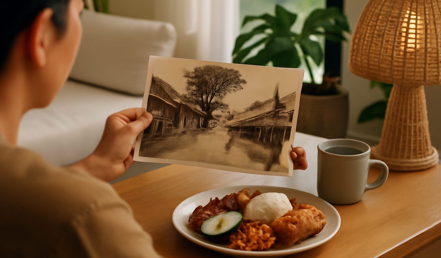
Most Singaporeans have heard stories of kampong life: attap houses on stilts, communal wells, chickens underfoot and neighbours who left their doors open. What is less often explored is where those villages actually stood and what remains of them today. The lost kampongs of Singapore did not simply vanish. They left behind road names, temples, mosques, trees and even the shape of some neighbourhoods.
This guide maps the main former kampong areas by region and points out the traces you can still look for. It is not a complete list, since there were once hundreds of villages across the island, but it gives you a way to read today’s landscape with fresh eyes.
What a Kampong Was, and Why They Disappeared
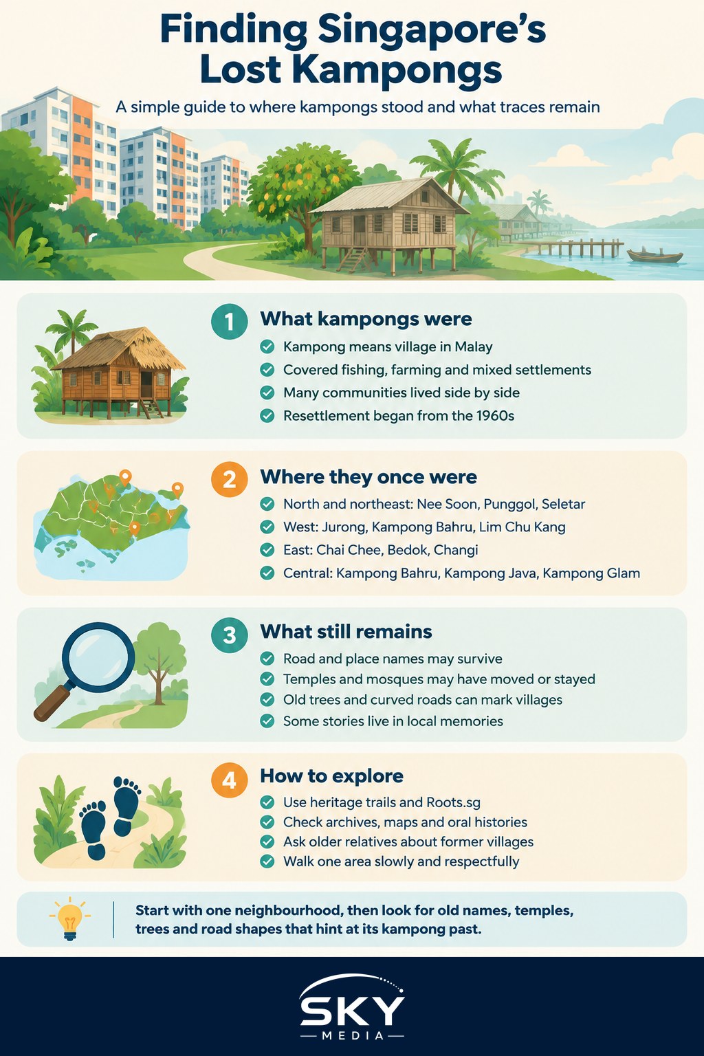
“Kampong” is the Malay word for village. In Singapore, the term came to cover a wide range of settlements, including Malay fishing villages on the coast, Chinese farming villages growing vegetables and rearing pigs, and mixed communities near plantations and factories. Many were home to people of several ethnic groups living side by side.
From the 1960s onwards, the government resettled kampong residents into public housing as part of nationwide programmes to improve sanitation, reduce fire risk and free land for industry, infrastructure and new towns. The process ran over several decades. By the end of the 20th century, almost all kampongs on the main island had been cleared.
The Nee Soon and Yishun heritage story is a good example of how a rural village area became a planned new town while keeping traces of its past.
Former Kampong Areas by Region
Below is a broad overview of some well-documented former kampong areas and what you can look for today. Exact boundaries were often fluid, so treat these as general areas rather than precise maps.
| Region | Former kampong areas (examples) | What replaced them | Traces worth looking for |
|---|---|---|---|
| North and northeast | Nee Soon villages, Punggol and Seletar villages, Kampong Lorong Buangkok | Yishun, Sengkang and Punggol new towns, airbase and industry | Road names, village temples, one surviving kampong |
| West | Jurong villages, Kampong Bahru areas near the coast, Lim Chu Kang farms | Jurong industrial estate, Jurong West and Boon Lay towns, farmland | Place names, relocated temples, remaining farm areas |
| East | Kampong Chai Chee, Kampong Bedok, Changi villages | Bedok and Chai Chee estates, Changi Airport | Street names, coastal parks, Changi Village area |
| Central | Kampong Bahru near the port, Kampong Java, Kampong Glam | Commercial districts, roads and housing | Road names, mosques and historic shophouses |
| Offshore islands | Pulau Ubin villages, former villages on southern islands | Some islands redeveloped, others left largely rural | Pulau Ubin’s houses, jetty and village life |
The north and northeast
The north was once dense with Chinese farming villages and plantations. Punggol was known for its seaside villages and farms, and Seletar for rubber estates and villages around the airbase. Kampong Lorong Buangkok, off Yio Chu Kang Road, is often described as the last surviving kampong on the Singapore mainland. It is a private residential area, so if you visit, stay on public paths, keep noise down and do not photograph residents or their homes without permission.
The west
Jurong was once a mix of swamps, villages and plantations before it became Singapore’s industrial heartland. Some farming continues further northwest in Lim Chu Kang, which gives a sense of the rural west, although it is very different from the kampongs of the past.
The east
Coastal villages once lined the east, with fishing communities and holiday bungalows. Names like Chai Chee and Bedok survive in today’s estates. Around Changi, the village atmosphere lingers in a different form. Our guide to a day in Changi Village describes the area as it is now.
The central area
Some of the oldest kampongs sat close to the river and port. Kampong Glam, originally a Malay and Muslim settlement, is now a conservation district. Its story sits alongside Chinatown and Little India in our guide to Singapore’s ethnic enclaves.
Pulau Ubin
Pulau Ubin, off the northeast coast, still has a small number of residents living in village-style homes. It is the closest most visitors can get to seeing what parts of rural Singapore once looked like. Visit respectfully, follow NParks rules, carry water and be prepared for the heat.
Traces That Survive in Today’s Landscape
Even where every house has gone, kampongs left marks that you can spot if you know where to look.
- Place and road names. Many roads, MRT stations and estates carry kampong-era names. Malay words like “kampong”, “jalan”, “lorong” and “sungei” (river) are often clues. Chinese names may reflect former villages, clans or local landmarks.
- Village temples and mosques. Some places of worship were rebuilt or relocated within new estates when their villages were cleared, sometimes merging several village temples into one building. Their founding stories often mention the original kampong.
- Old trees. Large fruit trees, banyans or rain trees sometimes mark former village grounds. Some are protected as heritage trees by NParks.
- Street layouts. A curving road in an otherwise grid-like estate can follow the line of an old village track or stream.
- Community memories. Older residents, community centres and resident networks often hold photos and stories that never made it into books.
How to Explore Former Kampongs Yourself
If you want to dig deeper, start with official and well-researched sources rather than social media posts.
- Check heritage trails. The National Heritage Board publishes heritage trails for many towns, often with markers and booklets that mention former villages. Look on Roots.sg for current trails.
- Use archives. The National Archives of Singapore holds oral history interviews, photographs and maps. Comparing an old map with today’s street map can be eye-opening.
- Visit your library. The National Library has books and online articles on kampong history, including Infopedia entries on specific villages.
- Talk to older relatives. Ask where they lived, what the village was called and what is there now. You may be surprised how close it is.
- Walk the area. Pick one former kampong and walk its modern streets looking for the traces above. Go in cooler hours and bring water.
Why Remembering Lost Kampongs Still Matters
Kampong resettlement brought clean water, modern sanitation and safer homes to many families, and it shaped the HDB heartland most Singaporeans now call home. At the same time, it changed how communities lived together. Understanding where the lost kampongs of Singapore stood helps connect today’s estates to the people who lived there before, and gives everyday places like a road name or a neighbourhood temple a deeper story.
Next time you pass a “Lorong” or “Kampong” sign, it is worth pausing to wonder what stood there first.
Frequently Asked Questions
Can I visit Kampong Lorong Buangkok today? It is a private residential area, so you should treat it with care. If you go, stay on public paths, keep noise down and do not photograph residents or their homes without permission. Check the latest information before visiting, as access and local requests can change.
How many kampongs were there in Singapore? There is no single agreed figure, but sources describe hundreds of villages across the island, in many sizes and forms. Boundaries and names shifted over time. National archive and heritage sources are the best place to look up a specific area.
Where can I see old photos or maps of my neighbourhood’s kampong past? The National Archives of Singapore holds historic maps, photographs and oral history interviews. The National Library and Roots.sg also have articles and heritage trails. Comparing an old map with today’s street map can show what used to stand where you live.
Are there any places where I can experience kampong life today? Pulau Ubin is the closest, where some residents still live in village-style homes. Some heritage museums and community events also recreate kampong scenes. Follow NParks rules on the island, carry water and be respectful of residents.
How did families feel about moving out of kampongs into HDB flats? Reactions were mixed. Many welcomed clean water, modern sanitation and safer homes, while others missed the open space, close community and rural way of life. Oral history interviews and family stories give a fuller picture than a single view.
Further reading: Former Cemeteries in Singapore and What Stands There Now · Pulau Ubin and Kampong Heritage · Kampong Lorong Buangkok: The Last Kampong in Singapore